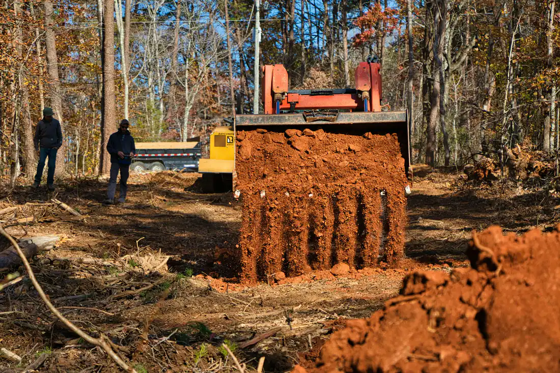
Land Clearing in Pilot Point, TX
Pasture, fence line and homesite clearing on the sandy ground between US 377, FM 455 and Lake Ray Roberts. Share the details and our featured local contractor sends back a written quote.
Land Clearing in Pilot Point and Northern Denton County
Pilot Point bills itself as the oldest settlement in Denton County. It sits at US 377 and FM 455, about eighteen miles north of Denton and twelve miles north of US 380, and the city says it is less than two miles from the eastern shore of Lake Ray Roberts. The Texas State Historical Association traces the name to the town's spot on a ridge that could be seen from far off, where a grove of oaks with one tall cottonwood served as a landmark for travelers. James Pierson platted the town in 1854.
Growth has arrived later here than in Collin County, but it has arrived. The U.S. Census Bureau estimated 8,052 residents in July 2025, up from 4,386 in its April 2020 base. Pilot Point's city limits technically reach into Cooke and Grayson counties as well, though the Census places all of those residents on the Denton County side. Much of the land around town is still pasture, hay ground and horse property; the city notes that only one county in Kentucky has more horses than Denton County.
For clearing, the two things that set Pilot Point apart are the lake next door and the sandier ground. Both change what can be cleared, where, and with which machine.
What We Handle in Pilot Point TX
Working private land right up to the U.S. Boundary fence at Ray Roberts without crossing onto public land.
Cutting cedar and brush out of pasture so it can be mowed, baled or grazed again.
Clearing paddocks, arena pads, barn sites and fence lines on equestrian acreage.
Opening a house pad, driveway path and septic area on rural Denton County acreage.
Mulching brush in place on sandy ground, where leaving cover on the soil helps hold it.
Clearing and shaping a drive across sandy loam to reach the back of a long tract.
Next to Ray Roberts Lake: The Boundary Fence Rules
All public land at Ray Roberts Lake is federal property administered by the U.S. Army Corps of Engineers, and a boundary fence with U.S. Boundary signs marks it, including the Greenbelt Corridor. Most of the public land outside the state park units is managed as a Wildlife Management Area. Adjacent owners can apply in writing to the Corps to mow grass to three inches or underbrush stems under two inches in diameter within fifteen feet of the government property line, for fire and rodent control, and to cut a footpath no wider than three feet to the shoreline. Gates in the boundary fence are not allowed, and adjacent owners may not mow or underbrush public land inside the state park units or the Greenbelt Corridor.
Some private land near the lake also carries a federal flowage easement, which covers land below the 645.50-foot elevation contour. On that ground, owners may mow, remove or plant vegetation, so ordinary brush clearing is allowed. What is not allowed is placing fill or reshaping the ground to raise it above 645.50 feet or reduce the lake's flood storage, building anything meant for living in, or putting up other structures, roads, ditches, ponds or wells without written approval from the Corps District Engineer. The Corps warns that the easement still applies even if a newer deed leaves it out. If your tract runs toward the lake, have the elevation and the easement checked before any grading follows the clearing.
Denton County Permits Around Pilot Point
Outside city limits, Denton County Development Services says a development permit is required for any improvement to a property, and lists excavation in a flood zone, including culverts, digging, filling, creek maintenance and ponds, as work that needs a permit. The county's subdivision rules also call for a driveway culvert permit from the Road and Bridge Department before driveway work in a dedicated county right-of-way. Inside Pilot Point, ask the city first; the city adopted a new subdivision ordinance in February 2023, and lots being platted under it may come with their own requirements.
Sandy Loam Changes the Approach
USDA soil survey data around Pilot Point is dominated by Justin, Callisburg, Gasil and Konsil fine sandy loams, with some Navo clay loam. That is a different world from the black clay east of here. Sandy loam drains faster, so equipment can often get back on it sooner after rain, but bare sand erodes more easily on slopes. Mulching in place, root raking only where a pad or drive is going, and leaving grass cover on the rest of the clearing are practical ways to keep a cleared tract from washing.
What to Ask a Contractor in Pilot Point
- Does the property border the Corps boundary fence, and does the scope stop at that fence?
- Is any of the tract below the 645.50-foot flowage easement contour?
- Is the parcel inside Pilot Point, in unincorporated Denton County, or in the small Cooke or Grayson County pieces?
- How will bare sandy ground be protected after clearing?
- Is the brush being mulched, piled or hauled off?
For land farther south, see the Aubrey page, or the main Celina page for Collin County properties.
Tell us the address and whether the land touches the lake boundary. Our featured local contractor reviews it and gives you their own written quote.
Call Now- City of Pilot Point: About
- Texas State Historical Association: Pilot Point, TX
- U.S. Army Corps of Engineers: Ray Roberts Lake guidelines for adjacent property owners (PDF)
- Denton County: Applying for Development Permits
- Denton County Subdivision Rules and Regulations (PDF)
- City of Pilot Point Subdivision Ordinance, adopted February 9, 2023 (PDF)
- U.S. Census Bureau: Vintage 2025 city population estimates, Texas (CSV)
- USDA NRCS Web Soil Survey
Ready to Clear Your Pilot Point TX Land?
Asking is free, and a quote does not obligate you to anything.